| mvermeulen.org : Home Blog Bike Trips |

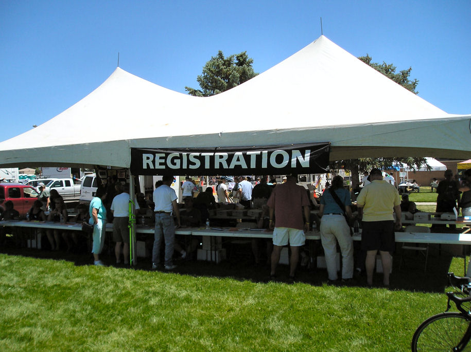

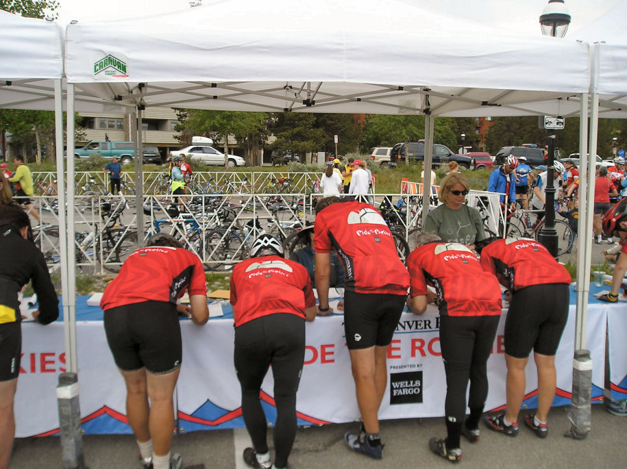
A giant tent saying "Registration" was the first stop. Here I picked up
matching color coded tags for myself, my luggage and my bike. While a number
of "bandits" ride each year, the tags are intended to keep services such as
camping, bike parking, aid stops and the like for those who paid their fees.
The colors are used to sort luggage.
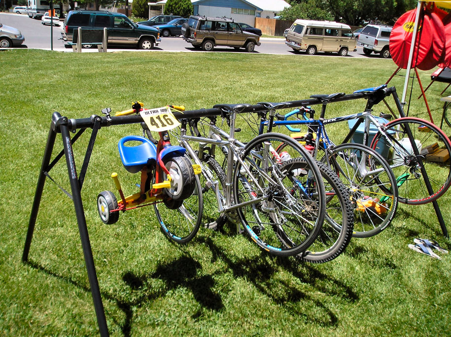
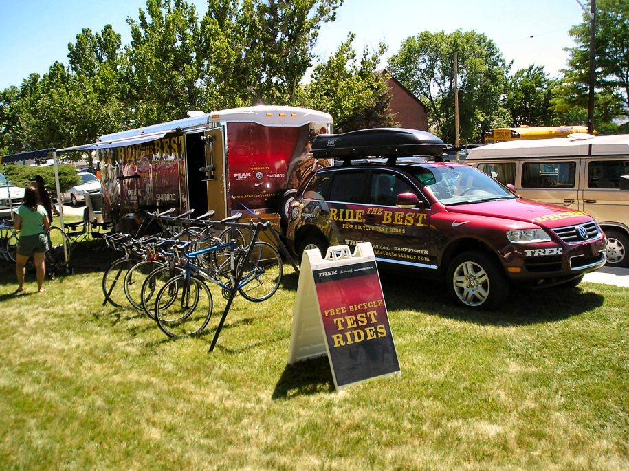
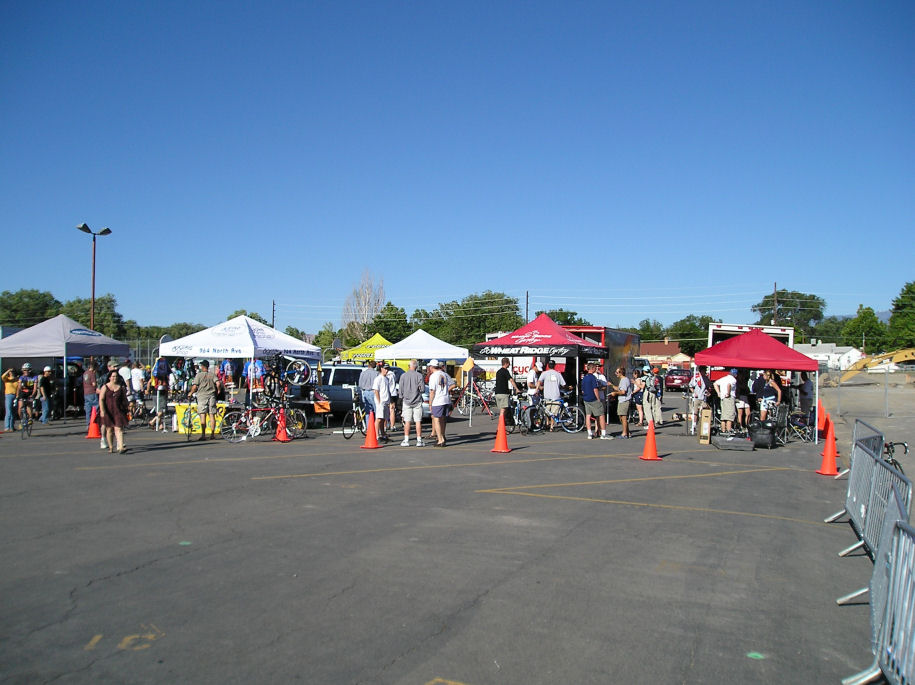
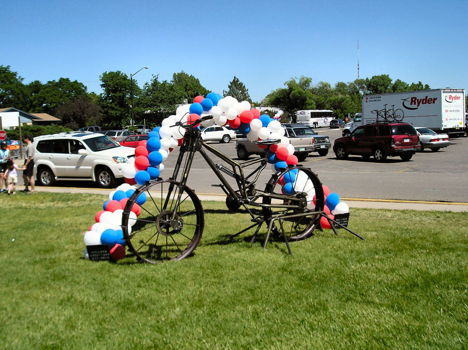
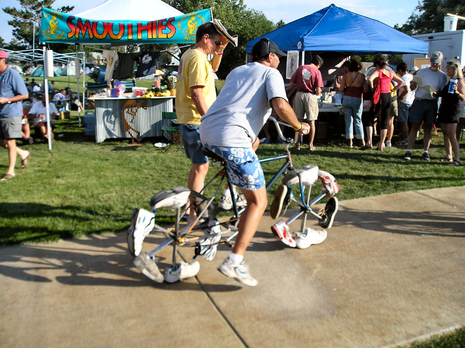
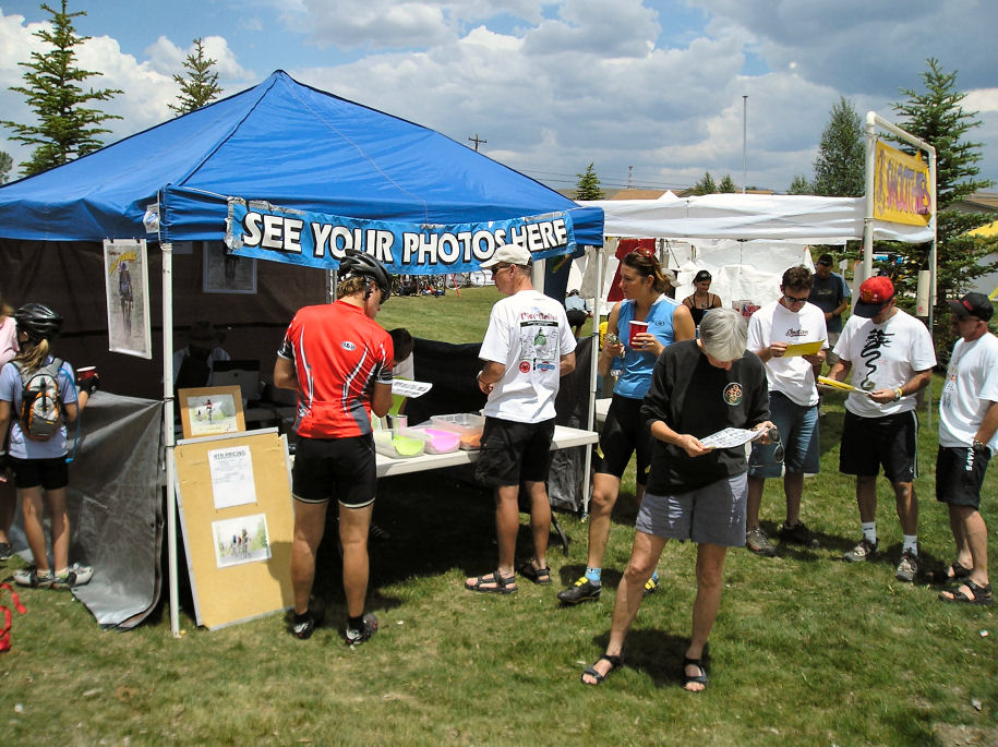
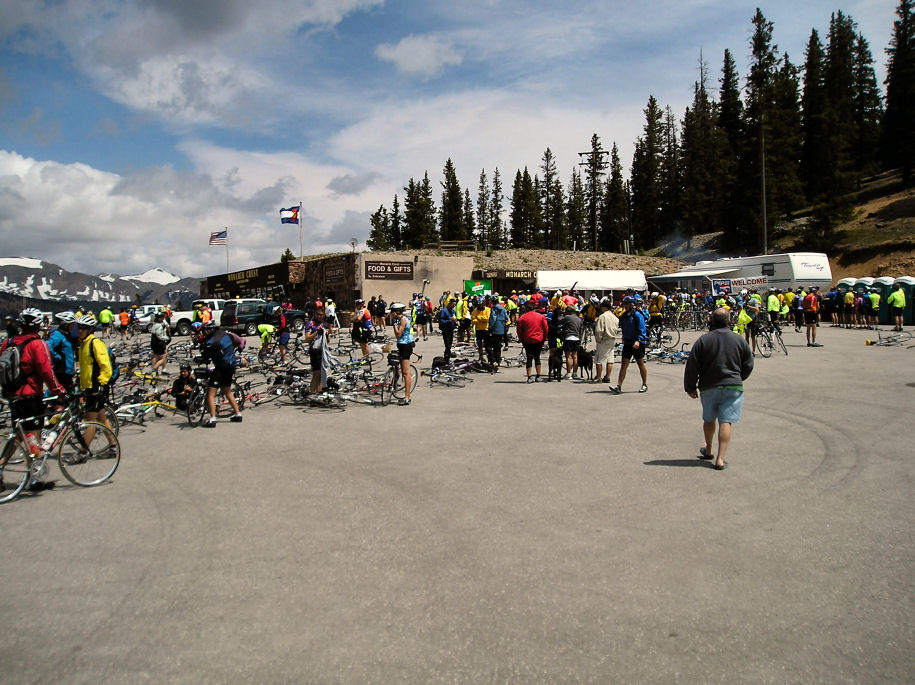
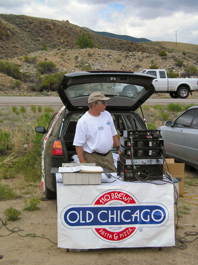
Around the registration tent are a dozen other booths. Some sell bike
paraphanelia, others T-shirts. It is possible to ride a "demo bike" for a
day, buy rims, camelbacks or bicycle jewelery. One can get popcorn, burritos
and ice cream. Also here is the USGS with geologic maps of the route. I
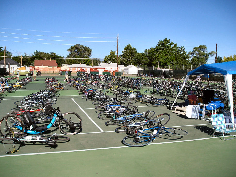
bring my recumbent to the tennis courts which are attended bike parking. I
also got a burrito from nearby booth.
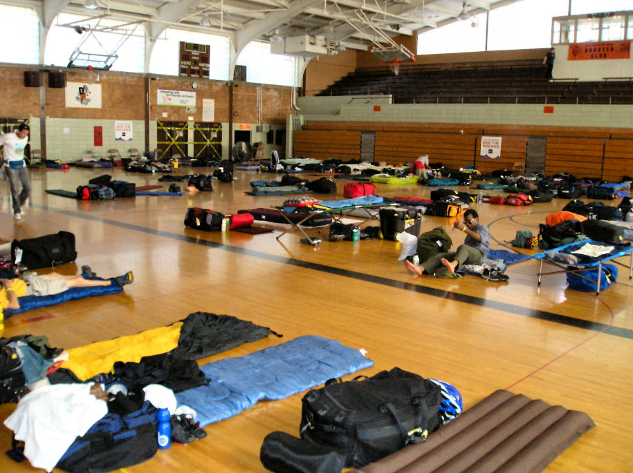
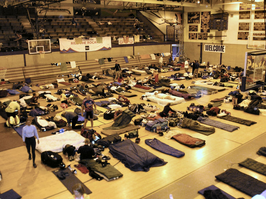
I have chosen the "indoor camping" option, so find the high school gym to
spread my sleeping bag. The sign used to say "early risers" but that has been
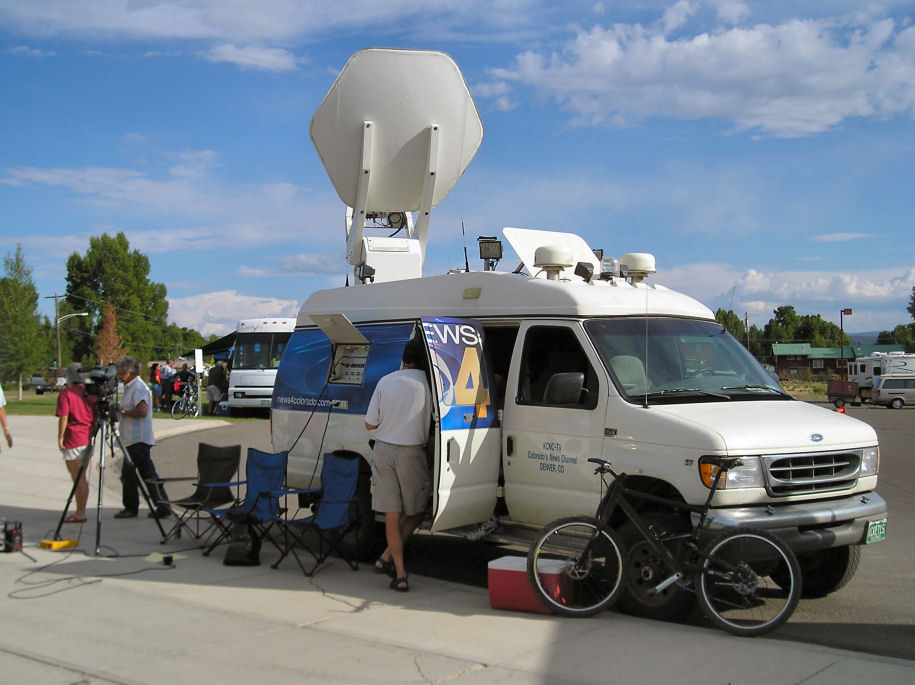
scratched out, not sure why. The Denver Post is a sponsor so free newspapers
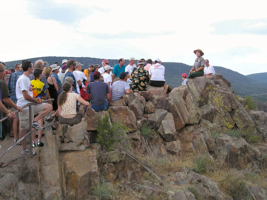
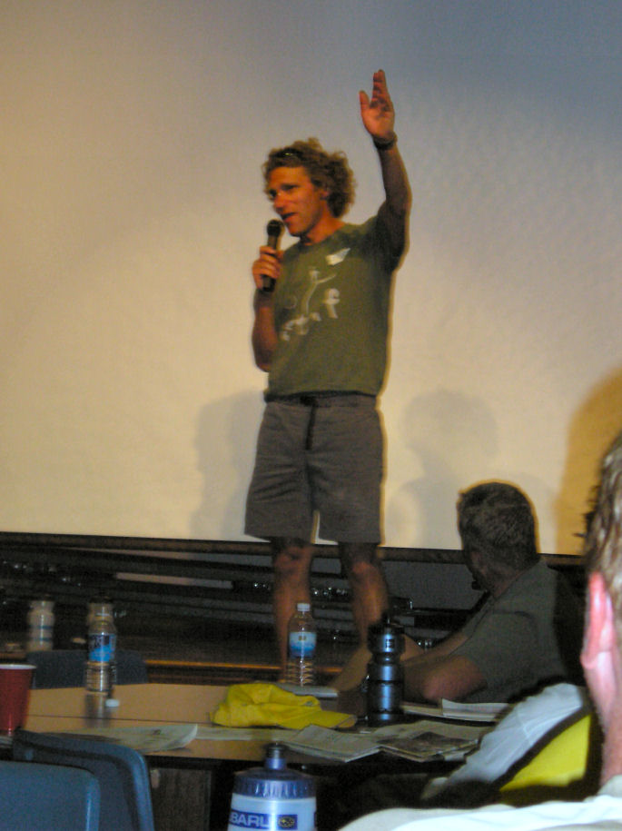
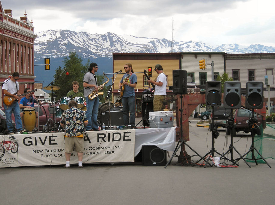
are available. At 4:30pm is an interesting talk by USGS team about geology.
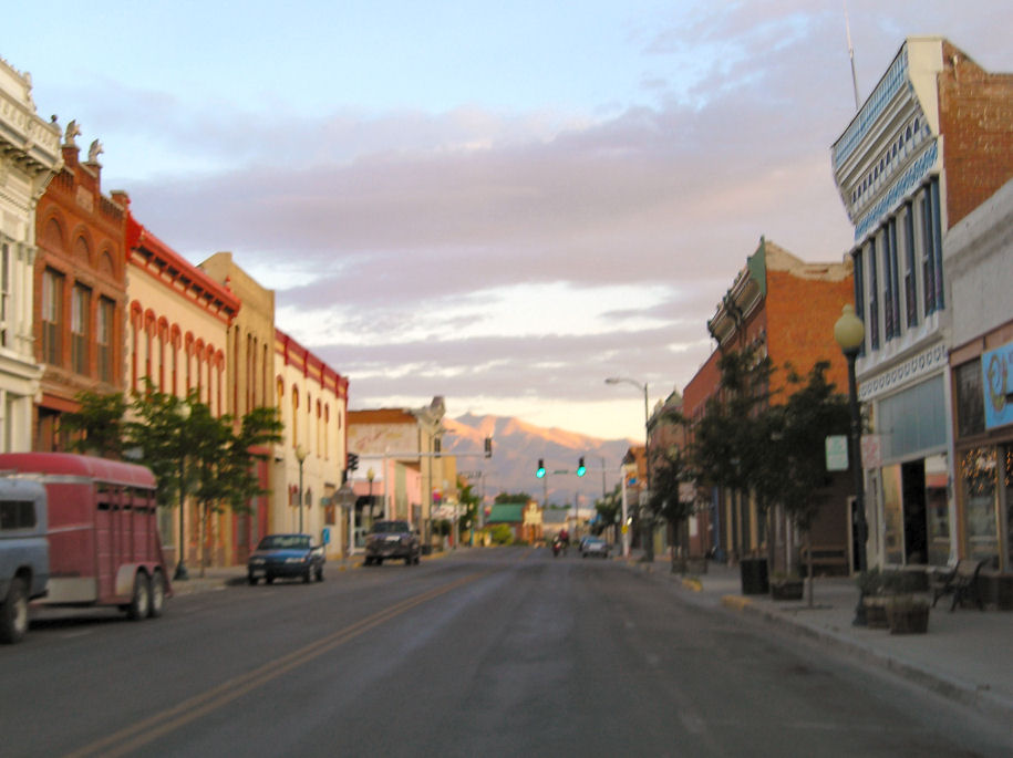
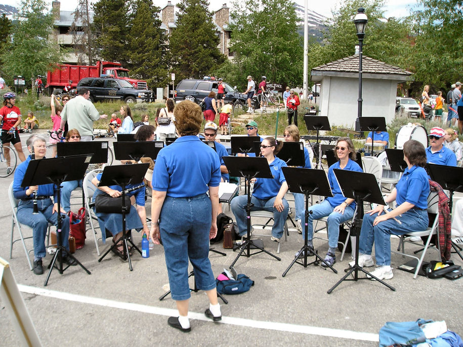
Before the talk I go to downtown where there is live music, a beer garden and
restaurants.
I talked with a two volunteers from Minnesota. They saw this as a fun
opportunity and had flown out just for the week. There were also local Grand
Junction volunteers who were helping in their home community.
The cycling seminar included weather forecast (low 42, high 98), general ride
information before a talk about geological highlights. We got a day by day
summary of geology we were going to pass. The ride has three days of plateau
riding before four days of mountain riding. After the geology talk a short
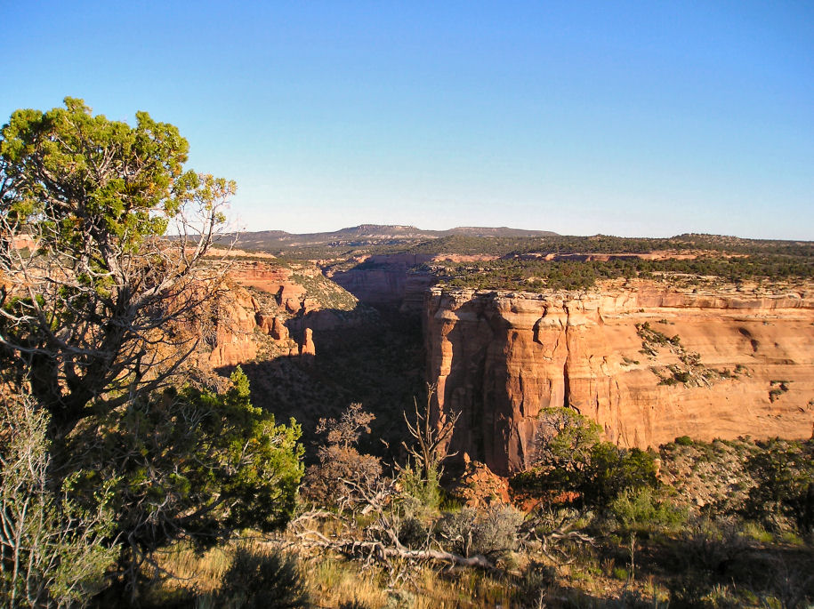
video preview of Colorado National Monument site of our ride tomorrow.

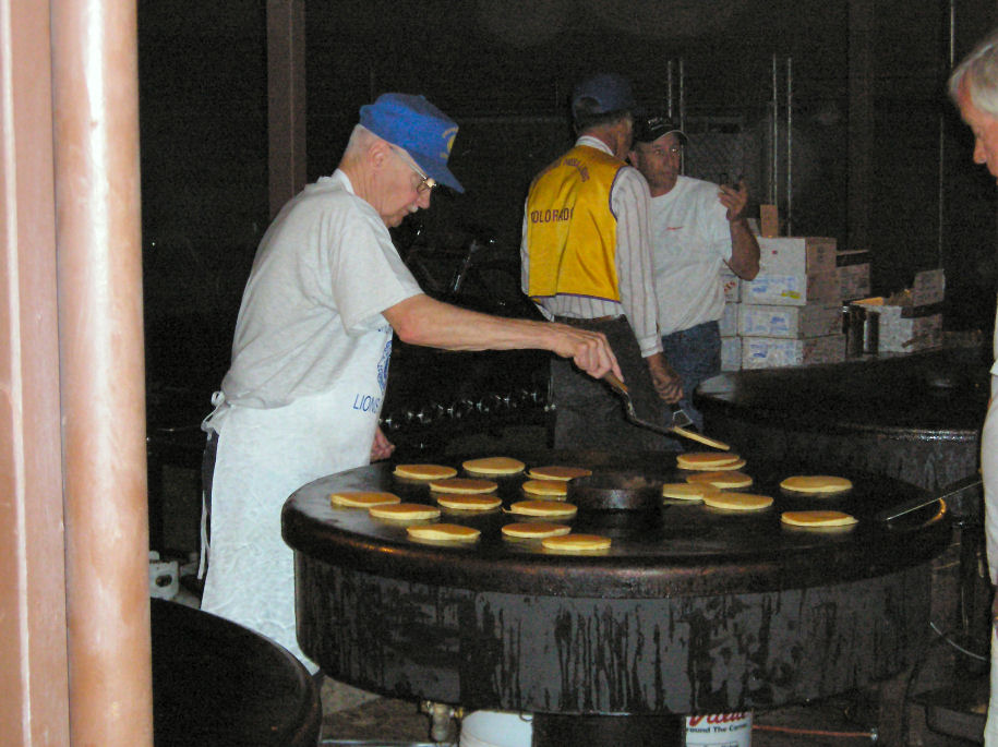
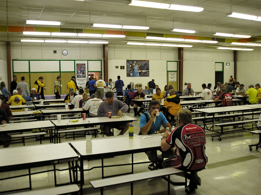
Folks in indoor camping were awake early, shuffling around. I was up and in a breakfast line when it opened at 5am. Each community finds groups to put on "community" breakfast, lunch and dinner. Here it was the Lions club.

After breakfast riders started departing. I initially thought I'd wait for
"official" start at 7am, but eventually decided to get going while it was cool
rather than wait for ceremony.
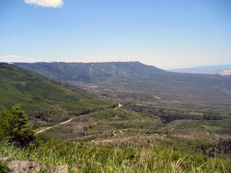
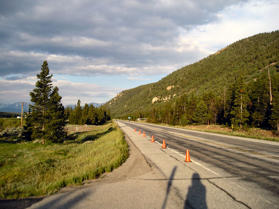
The route is marked with large yellow arrows. Major intersections are marshalled with law enforcement. At two miles flashing police lights marked a left turn to the monument. Another three miles of slight climb before reaching the monument entrance.
On entry to the monument, a sign indicated a winding climb for 4 miles. I put it in low gear and went through switchbacks. At one point it looked like the road was getting boxed in but last minute saw a tunnel. I passed two people pedalling recumbent bikes with their hands.

At nine miles was the first aid station, and worst of the climb was over. The
next stretch had some climbs and some descents as we followed edge of the
mesa.
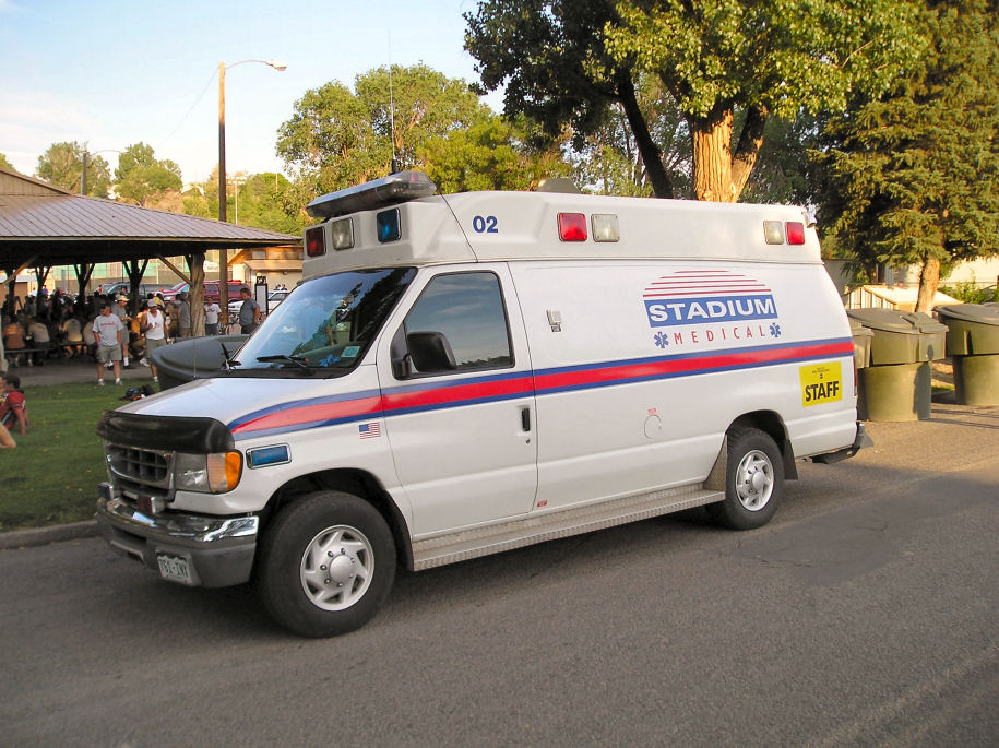
A sign said 6640ft at our high point. Along the way multiple official cars passed with signs "repair", "SAG", "staff" or medical. The Colorado State Patrol passed on motorcycle. A photography company was taking photos. They told me to remember "A", so I was still in first batch of riders.


A short climb after aid station two, before almost 10 miles of descent.
Spectacular riding where I stopped once or twice for a photo of rocks or green
valley below.
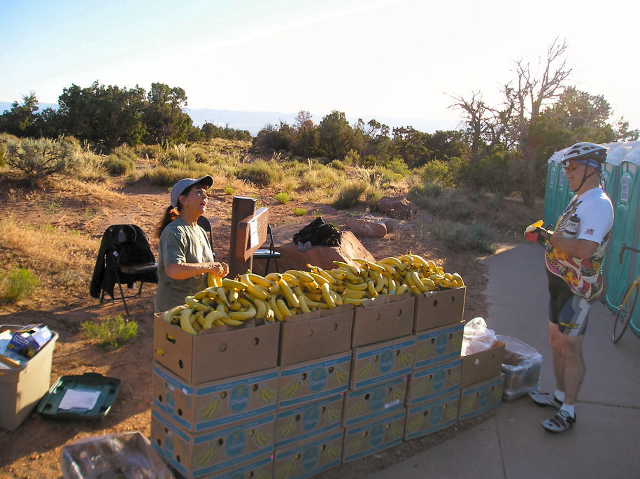
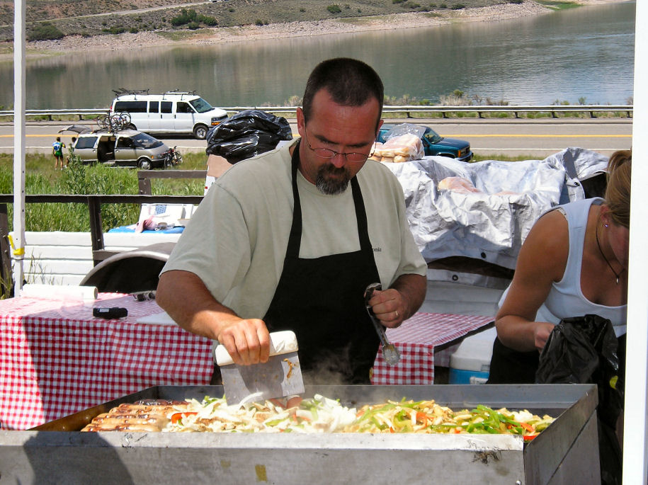
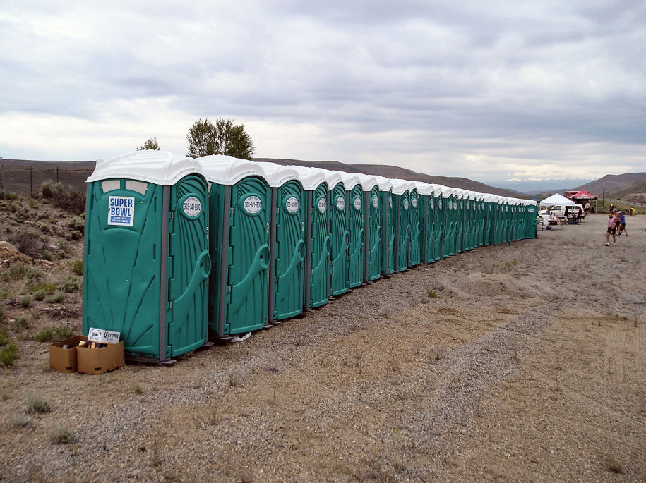
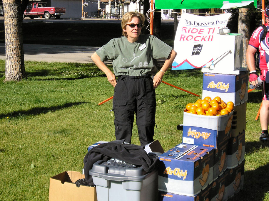
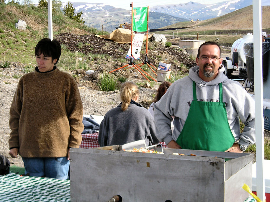
At bottom was Fruita and another aid station at 30 miles. Each aid station had ~20 portable toilets, jugs of water/gatorade, either oranges or bananas and a handful of friendly volunteers to help.
The last fifteen miles were mostly flat as we rode through country roads.
Several of the intersections had volunteers watching for traffic. Without
much difficulty I found myself back before 10am. A short ride that I figure
is half distance and slightly less than half the climb of tomorrow.
An early community pasta lunch and otherwise relaxing morning and early afternoon before another cycling seminar scheduled at 4:30pm. The massage tent was keeping good business and was already scheduled full for tomorrow. I wandered downtown for a snack and otherwise relaxed on an easy cycling day.

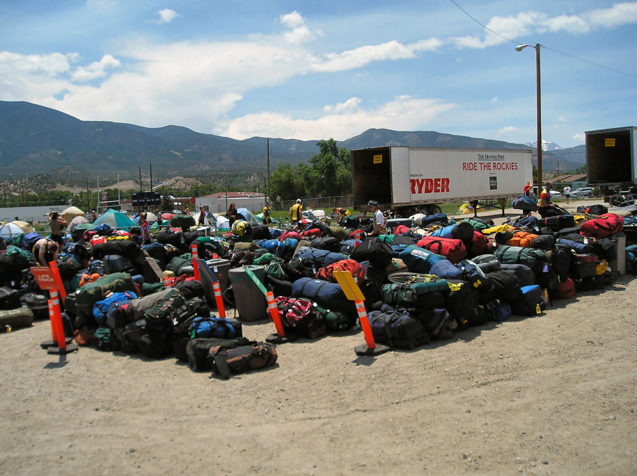
At 4:30am the gym was abuzz with people packing up. I was fairly quick in packing my bag and bringing it to the "early truck". There are three semi-trailers marked "early", "middle" and "late". Each morning you load your bag in the appropriate truck. At destination, those unloading put bagged out and sort it by color codes of the luggage tags.

Breakfast was quick and by 5:15am I was ready to roll. A little confusion
getting out of town but quickly rolling on my way. Nice cool riding with a
slight headwind. Mostly flat with a few hills to cross. We went along nice
vineyard roads with an aid stop at 14 miles.
From the first SAG some more orchard roads before the road dumped us on Interstate 70. Five miles of interstate riding and then second station at turnoff for CO 65 over Grand Mesa.
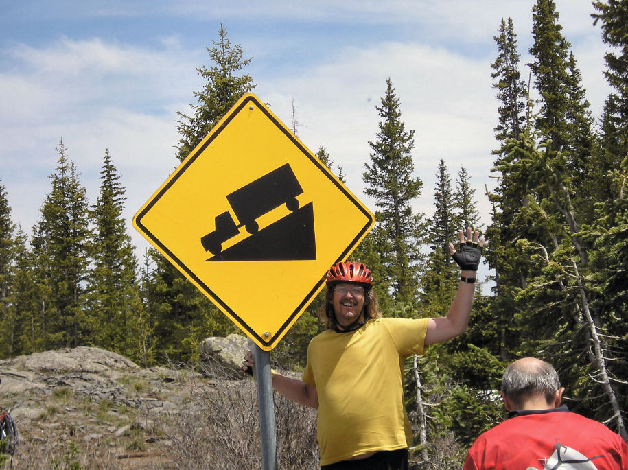
For ten miles the road continued mostly flat along the river. Here the sign said "Mesa 2". Those two miles were the first substantial climb. My gears dropped and I shifted into slow mode. However without much difficulty, found myself at Aid Station #3 at mile 38 and 5600ft. From here a mile of climbing over the next 19 miles.
My recumbent was slow to climb, so mostly people were passing me (along with my early departure I had already passed those slower than me). Fortunately somewhat cool. However, this first climb was relentless, with a continuing grade. I walked one or two places to exercise other muscles.
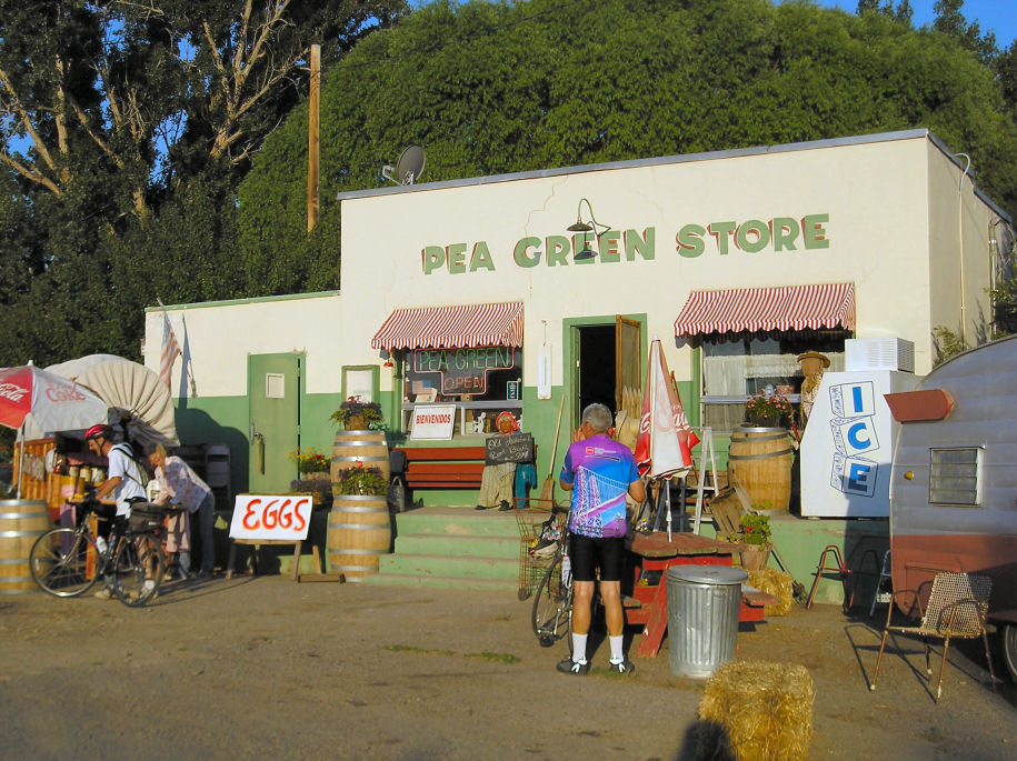
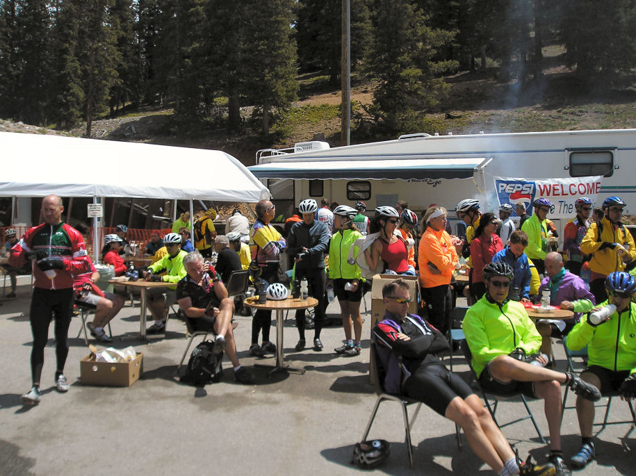
Aid stations provide water/gatorade and alternate oranges/bananas. There are also typically some vendor stands selling other foods (peanut butter and jelly sandwiches for $1-$2 seemed to be a big hit). Sometimes between official stops are informal lemonade type stands. There were two such stands on way to aid station #4.
I was pretty tired on reaching aid station #4 at 8800ft. It had become warm
and the relentless grade had taken its toll. Fortunately, some rest, an
overpriced peanut butter sandwich and two smoothies did their trick and I felt
better.
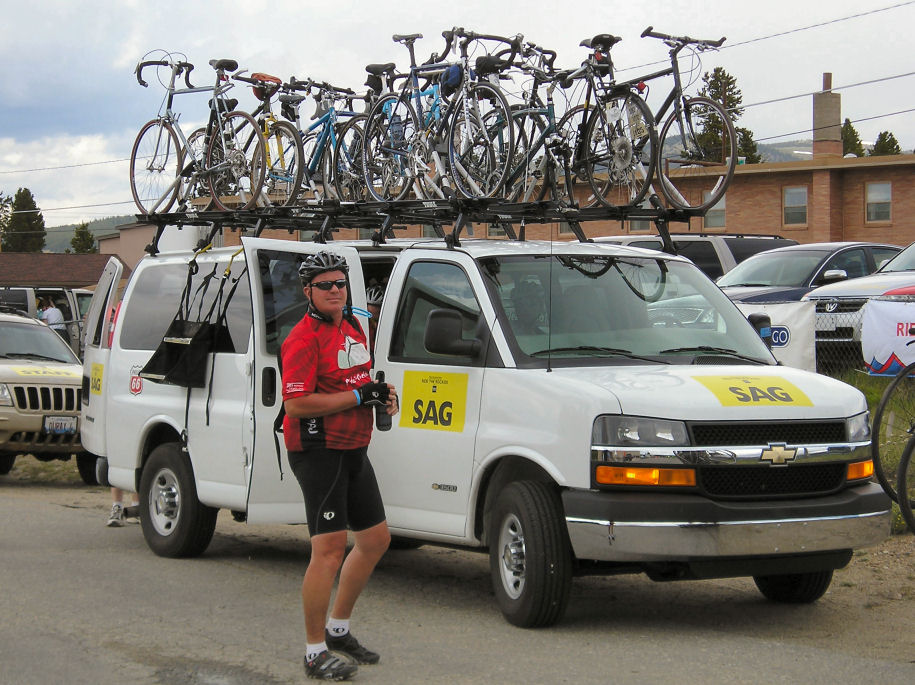
At aid station #4, there was parked a large 55 passenger bus + rental truck for bikes. The organizers were running these as an oversized SAG. In addition, a fleet of smaller vans marked "SAG" kept passing with bikes on the roof.
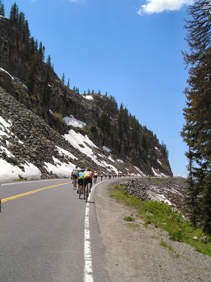
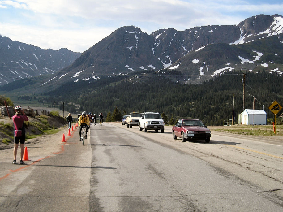
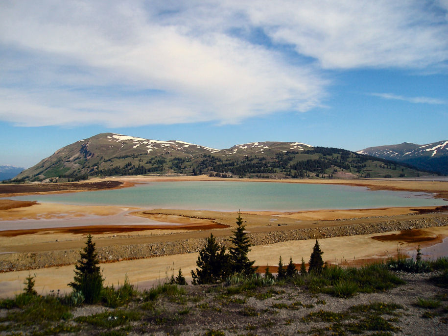
It was tempting to SAG, but my lunch rejuvenation and more varied terrain in remaining miles kept me going. It was also slightly cooler and so the remaining 2000ft of climb were easier than expected. There was still snow along the way, beautiful expansive views and some lakes we passed.
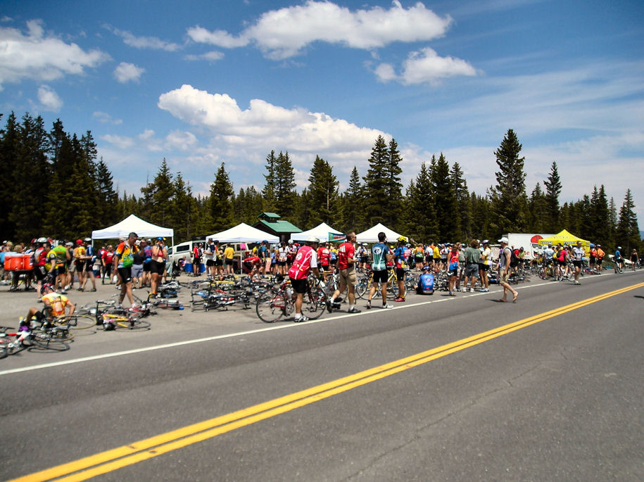
Party! The summit bustled with activity. I had made it! Lots of bicyclists
were celebrating on the summit. At time they flowed into the roadway to be
shooed back by Colorado State Patrol troopers who have been shaperoning the
trip. Felt good to reach the summit.
Of course a minor matter of 34 mile descent of almost 6000 feet remained. We could see down into the valley off to the south with nice views. The descent went quickly. I was a little cautious with my speed so rarely topped 30mph, but others got close to 50mph.

It became warmer and warmer as we descended. Wow, hot! The road just kept
going down and down. A final aid station was found at 76 miles. From here 11
miles of descent and then four level miles into Delta.
A few citizens of Delta were out on their lawn chairs to cheer the riders as they arrived. Elsewhere the camp was bustling with booths and Mexican was the fare for community dinner. Indoor camping space was tight and there was a line for showers but felt good to relax after a tough ride.

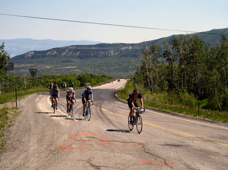
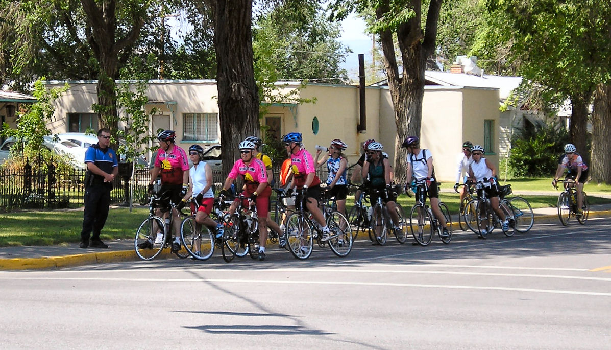
I have seen a few more recumbent bicycles on the ride. The overall number
seems small, perhaps a dozen total. There is a somewhat larger number of
tandems but vast majority are single upright bikes.
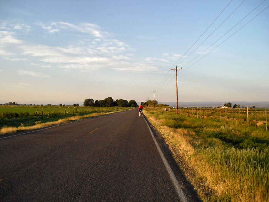
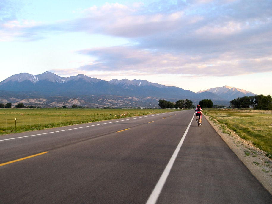
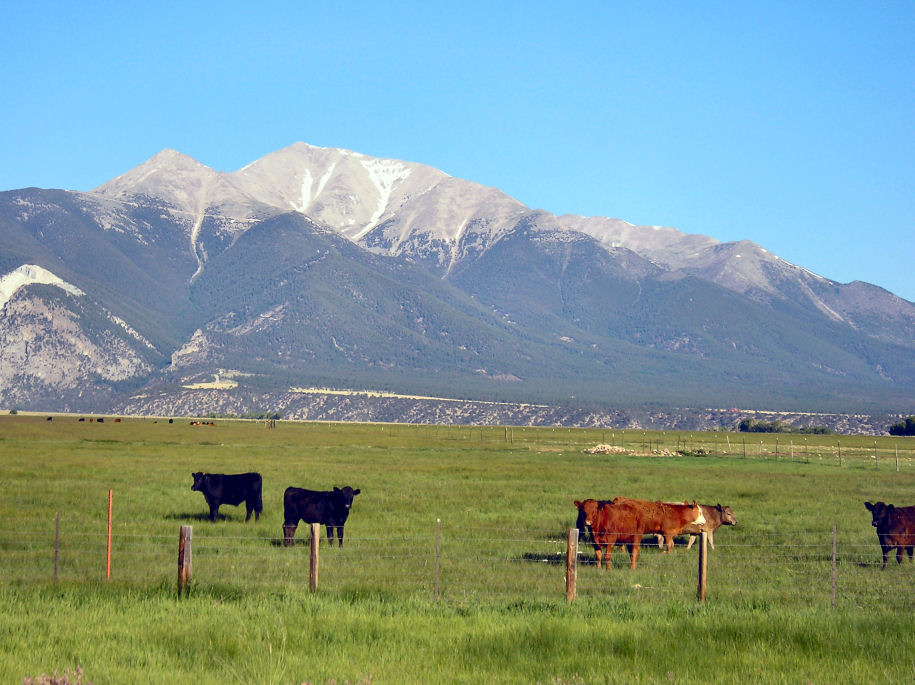
Our ride went through rural countryside, past corn and hay fields. The corn
was perhaps 12 inches high. There were slight hills but nothing extreme.
The first aid station was eight miles in, the second one at twenty-nine miles.
Some of the roads were rough. The worst of these gets marked with orange paint to point out hazards. Occasionally they will also paint other sayings such as today when we passed a large junkyard and the painted words said "retired SAG vehicles" with an arrow.

Without much trouble I reached Montrose. On arrival a reporter from local
paper wanted an interview, so answered some questions. I then found my place
in the indoor camping and wandered around town.
In the afternoon I took a bus ride to nearby Black Canyon of the Gunnison National Park. This deep narrow 2000 foot deep gorge is named "black" due to lack of sunlight reaching the bottom. Our ranger talk was cut short when lightning stuck so nearby that some people felt the static charge and we could see smoke. Everyone ducked and we quickly hurried back to our bus.
At 4:30 was another cycling seminar. We heard that ~500 people got a SAG
yesterday, and there were several miles of road construction tomorrow. We
were also warned about early winds.

Ride organizers had warned us against leaving too early since there was typically a morning headwind that lessened later. They also sent mixed messages by pointing out that sometimes the wind didn't stop at all. I left at 6am anyway since I figured I could at least beat the heat.


A few miles from Montrose the wind picked up. It was perhaps 15-20mph so not
too bad. This also started a gradual climb of 2000ft. At 7 miles was turnoff
to Grand Canyon of the Gunnison Park followed by the first aid station at 10
miles. Here I took a welcome break from hill and wind before riding the last
four miles to Certo Summit. Yeah!, longest climb of the day already done.
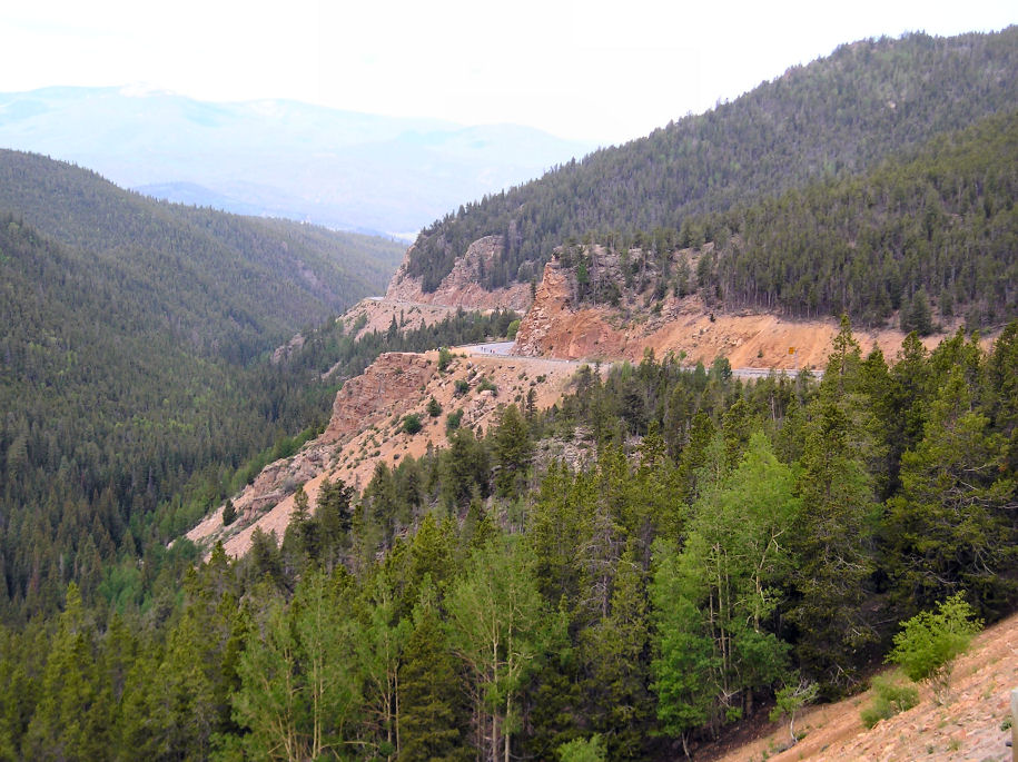
From the summit a few mile descent. At mile 16 was road construction. Apparently, Ride the Rockies organizers had worked with Colorado Department of Transportation (CDOT), but they had been unable to finish paving the road in time. Instead, they divided the roadway into three parts: one for traffic each way and a wide 14ft shoulder marked off for bicycles. The gravel had been freshly oiled. Little rocks and oil would sometimes stick and made noise on my fairing. It made the descent a bit obnoxious, but fortunately only three miles.
Road construction ended at bottom of the hill and from here we slowly started
climbing again. The wind had subsided and we had our next aid station at mile
22. From here a six mile climb to the next summit. I found this area
particularly scenic with meadows and mountains in the distance. Without too
much difficulty, the big climbs were done at mile 28.
The Colorado State Patrol seems to have a motorcycle unit and a few patrol cars that accompany the riders. Sometimes they marshall dangerous left turns, but much of the time motorcycles also patrol along the road. This next section was scenic but also narrow. A motorcycle officer came past and warned, "there is a string of traffic behind". Several cars and trucks carefully passed, occasionally pausing for oncoming traffic.
A green pickup with mattress in back passed and immediately honked at a cyclist ahead. The truck also swung extremely close to other cyclists with the mirrors. I suspect the driver didn't hear me but I yelled, "you're a jerk!", more to let off steam than anything else. This was dangerous! Another cyclist from behind remarked, "can you believe that truck!"
Our route slowly climbed and about a mile later to my surprise was the same truck pulled over with three motorcycle officers nearby. The must have been more honks and dangerous driving since a steady stream of cyclists was stopping, remarking "I'm glad you got her!" and offering witness testimony. The officers couldn't keep up with it all but were taking names and addresses - at least ten that I counted and still increasing.
The driver was in her truck, clearly agitated. She was ranting about
"bicyclists not paying road taxes or being allowed on the road" and asking
officers why they should believe spandex wearing cyclists over her (while at
the same time the number of spandex witnesses continued to increasing). She
was not helping her situation and I was relieved to later see a tow truck pass
towing her pickup since she appears to be so upset/irrational that she
wouldn't be safe on the roads today. Unfortunately this driver picked the
wrong day and behavior to be impatient with cyclists on "her" road. I hope
she reforms before she injures someone.
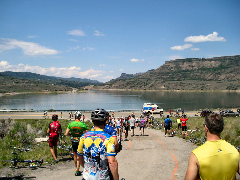
From the summit another nice descent down towards Blue Mesa Reservoir. This road had rumble strips but an adequate shoulder. Less trees and more sagebrush.
Just off the reservoir was our third aid station. Lots of cyclists and
multiple food vendors made a good place for lunch. From here the road
flattened out with no real climbs or descents as the next 15 miles was along
the reservoir. It was getting warm but the miles were going quickly.
I stopped briefly at aid station #4 at mile 55 before quickly riding the last ten miles into town. Overall a fairly easy ride with a lot of variety in scenery. I noticed quite a few bikes stopped with flats so also some road debris. I was into the rhythm of camp to get my stuff and camp out in the gym.


A little later starting out to fix a flat in my front tire near the valve
stem. It was cool but fortunately calm. For the first 25 miles our route
went slightly uphill along a broad grassy valley. The miles went quickly as
there wasn't much to stop and see. At 18 miles was first aid station. I
laughed with the smoothie vendor as we noted it wasn't smoothie weather.
At 25 miles the valley narrowed and went around a corner. New mountains were
visible, though some had their summits in the clouds. It was around 8000ft
and more trees here as well. Our second aid station was mile 33. I filled my
water and prepared for the upcoming climb to Monarch Pass.
It was cool enough to wear my jacket but as the climb started, it warmed up and back to just a jersey. There were two climbing lanes so this left one for bikes. State troopers were patrolling the narrow parts. I was surprised to see a SAG or two pass with bicycles on the roof.

I tend to climb (and descend) a little slower than average so more folks
passing. Our route left the river valley and climbed at a steady grade along
the hill sides. It was cooler than our Grand Mesa climb and this also seemed
easier. Nice views of mountains along the sides.


A slow steady climb to mile 43 brought me to the summit, 11312 feet. That
wasn't hard. Lots of people here, but only one vendor for food. A DJ was
playing music and periodically giving out prizes. Bicycles were carefully
layed on their sides in large fields. From here a gondola car could take
tourists higher on the mountain.
Sign said 6% grade, next 10 miles. In fact it really wasn't necessary to
pedal almost all the way to Salida, 23 miles and 4300ft below. Zoom!
Unfortunately a moderate amount of traffic, so had to be careful on descent.
It steadily got warmer. That jacket wasn't needed.

Without much difficulty, made my way to Salida a little after 1pm. The
routine was familiar now: baggage truck, indoor camping, shower, lunch,
newspaper and other steps. This left some time to wander past vendor booths
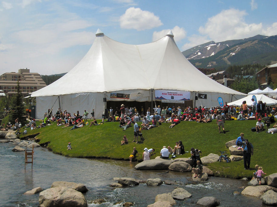
and also listen to the cycling seminar. Evening community dinner is downtown.
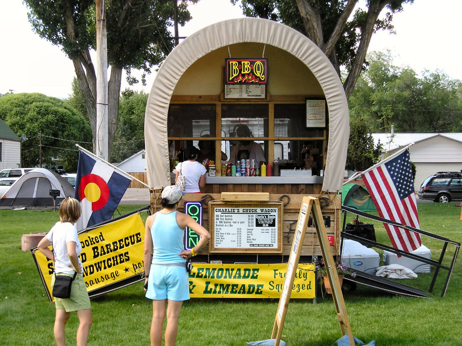
Its estimated that each town sees ~$175,000 economic benefit by 2000+ hungry
and tired cyclists descending for a day, and these towns have been very
hospitable.

The lights were left on in the gym last night but I didn't notice until 3am or
so that it was all light. Despite a somewhat easier ride, still seemed to be
enough people starting to stir at 4am. Griddles were going full speed at 5am
to serve a line of people ready for breakfast.
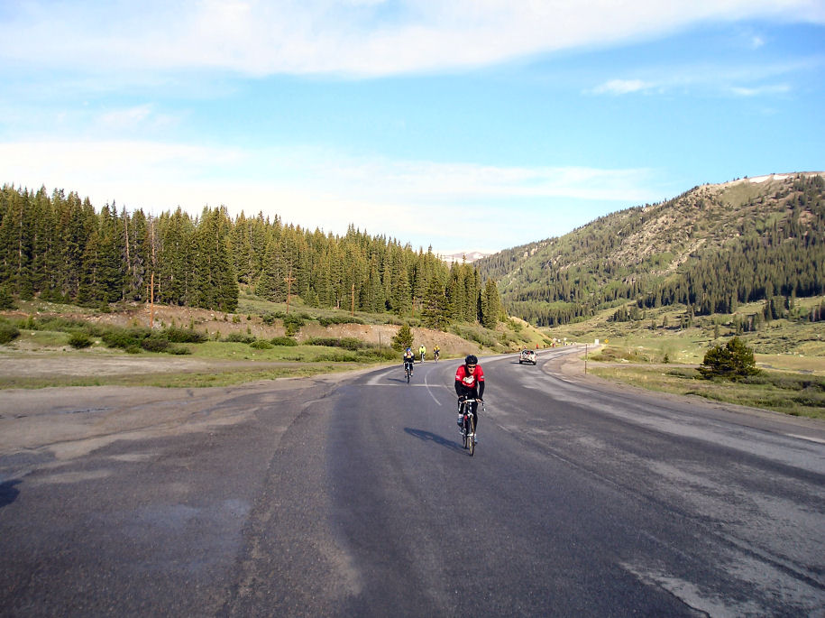
I was on the road at 6am. A little cool, with pretty views to mountains above. All day we were treated to spectacular views off to the left of 14000+ foot mountains. In a few miles we left Salida and traveled through a broad valley. After 7 miles we reached 285 and at 10 miles the first aid station.
A climb over a hill, slight descent and then gradual climb brought us to Buena
Vista. This region had many rafting companies, but it was early for the raft
tourists to be out. Stopped at the second aid station at 25 miles.
After Buena Vista, the valley narrowed and we also got a stretch of new chip
seal. A little rougher riding but also looks like they had tried to sweep up
loose chips. The aid stations were close with one at 34 miles and another at
44 miles. The DJ at 4th aid station had frequent giveaways and I ended up
with two concert tickets for having a dollar bill with four of the same digits
in the serial number.
After fourth aid station, a few more miles of narrow valley before it opened
again with nice views of Mount Massive, Mount Elbert and other peaks. The
gradual climb continued as we reached Leadville. Yeah! A nice ride today
without too much difficulty. I was in by 12:30pm which was a good time to
arrive and beat afternoon thundershowers by about an hour. Indoor camping
space also seems to be tight here as the gym gets more and more packed. The
"massage tent" is actually a second floor hallway. People are continuing to
arrive.
Rumor has it there a bicyclist marriage proposal yesterday on Monarch Pass. Also read in the paper that a bicyclist was killed when competing in Race Across America (RAAM), in Trinidad Colorado yesterday. Report from this ride was zero broken bones as of yesterday.

The gym last night was crowded, and a cooler night than before. Several
storms came through to drop some rain, and in places hail. The alarms and
beeps were going by 4am, and I didn't have much trouble packing up, getting
breakfast upstairs and getting underway around 6am.
I was bundled up but it was still cool cycling, in low 30Fs. There was white
under a few trees, hail the day before that hadn't melted. Our route
descended slightly out of town, before circling around to climb to US 24. One
more brief descent before the climb to Fremont pass started.
An aid station at mile nine and then a continuation of a gradual climb along the river. This was an easy pass, only 1300ft higher than Leadville. The sun made it feel a little warmer. At 16 miles, the final climb became a little steeper but all quick to the summit of our last pass. This was also area of the Climax Molydenum mine, since shut down. I lingered for a bit at the aid station.
A few miles of up and down in area overlooking tailings ponds from the mine.
A sign listed a few settlements that had been flooded out by those tailings.
From here a good descent down into Copper Mountain.
At Copper, we took the bike path. I was surprised at the amount of bicycle traffic heading the other direction (as might they be). The path was still wet and with limited visibility I took it a bit slow. In Frisco I paused briefly to bicycle to local Hertz Rental where I had reserved a minivan. My parents met me there and later brought the van to Breckenridge.
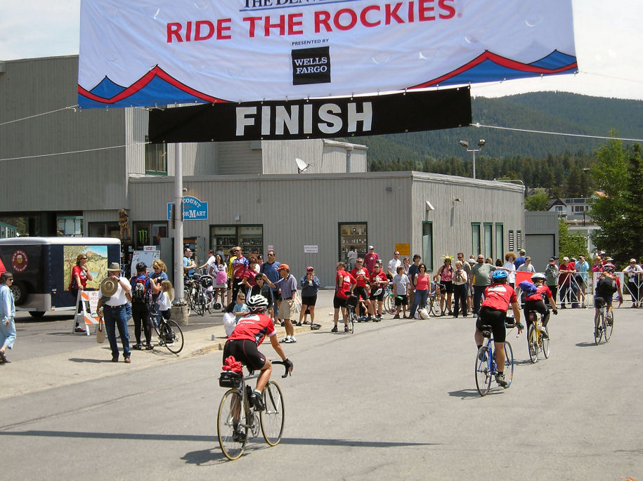
Homestretch. Almost flat and some extra push made the last miles go quickly.
Before I knew it I was at the finish. I hung around to see closing
ceremonies. Mostly thank yous and also a raffle of two bicycles, some wheels
and other items. After that Ride the Rockies 2005 was done.
Overall, I enjoyed this ride. The weather cooperated and I didn't ride in any rain. One day was tough riding, the others easy to moderate. Organization and logistics were excellent. What I enjoyed most was the friendliness and positive spirit I got from other riders and from staff.